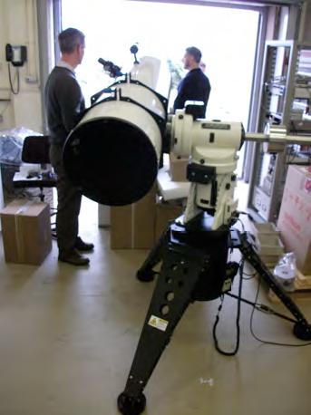
Partner UEDIN works on a DIAL remote sensing device that potentially will allow to measure vertical gradients of CO2 and CH4 up to several kilometers height. The first prototype results look very promising and even shows potential for using the device for boundary layer height and aerosol observations. Read more in the deliverable report.

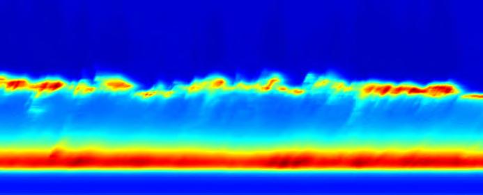
A time-versus-range image showing variation in the return signal of the DIAL prototype of power over an interval of 9 min. The bottom blue region is the lowest 200m where the system is “blind” due to its optical design. The red and yellow region on top of that shows the scattering by gases and aerosols in the boundary layer (up to 920 m), followed by the residual layers in the lower troposhere. The top layer of red and yellow arise from mid-level clouds. Return signals from clouds have been received from heights up to 5.8 km.

